


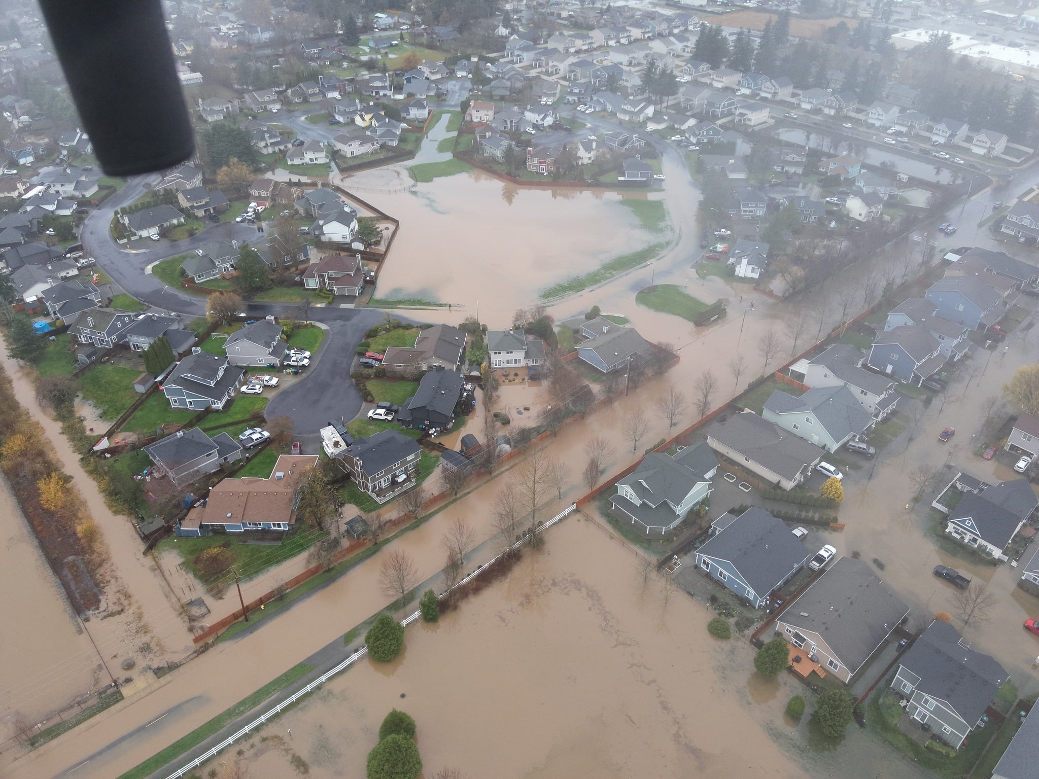
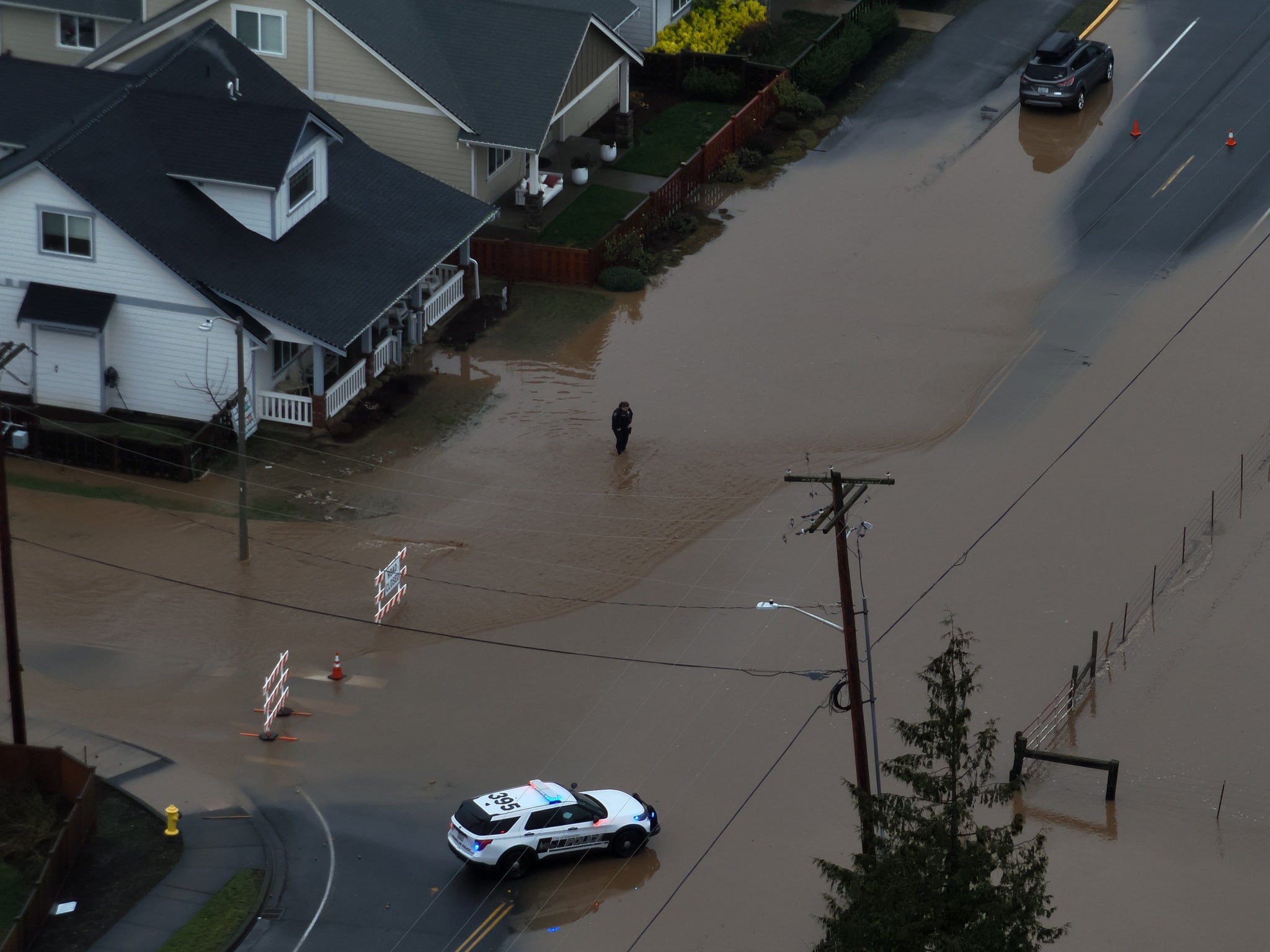
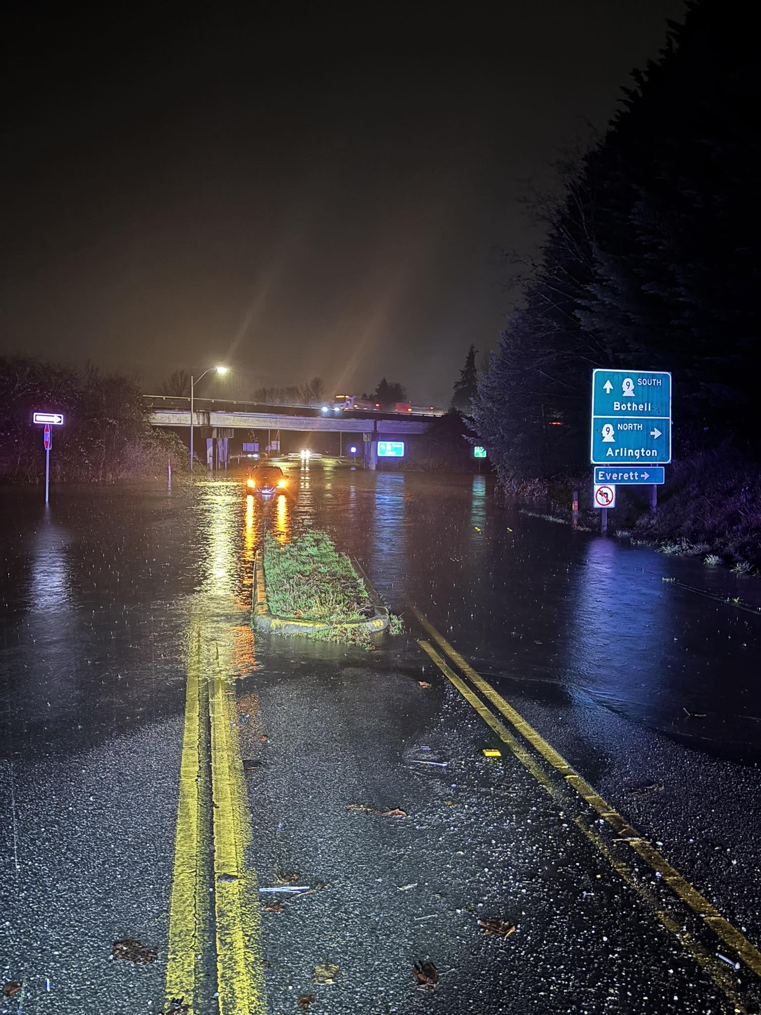
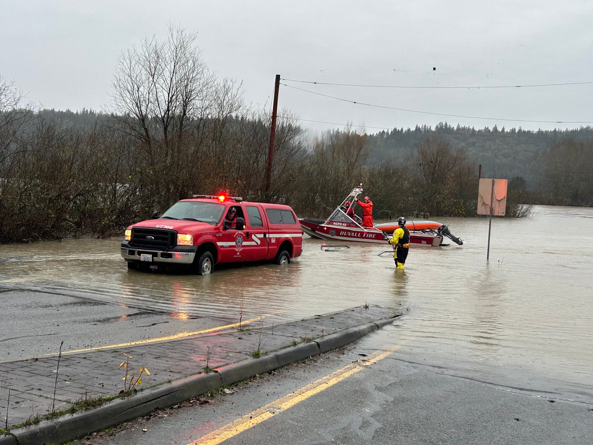
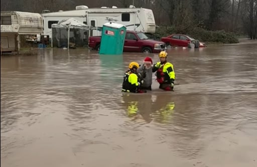

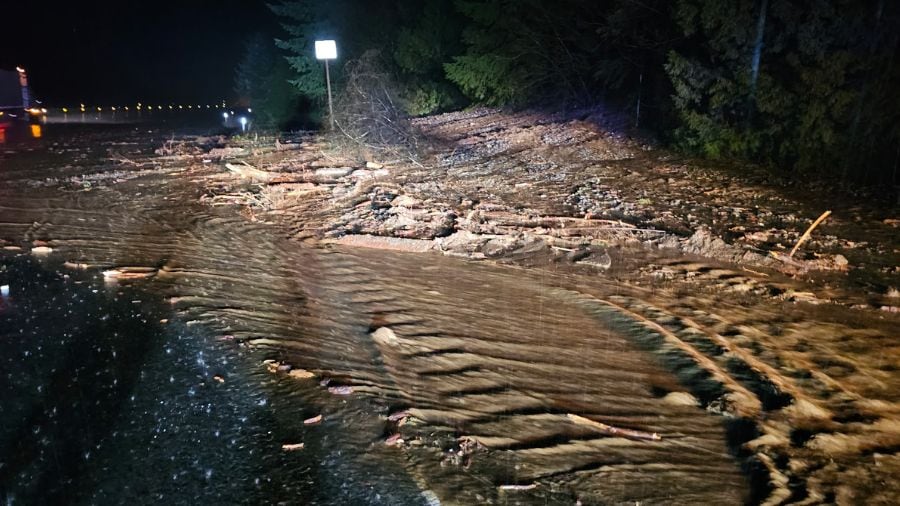

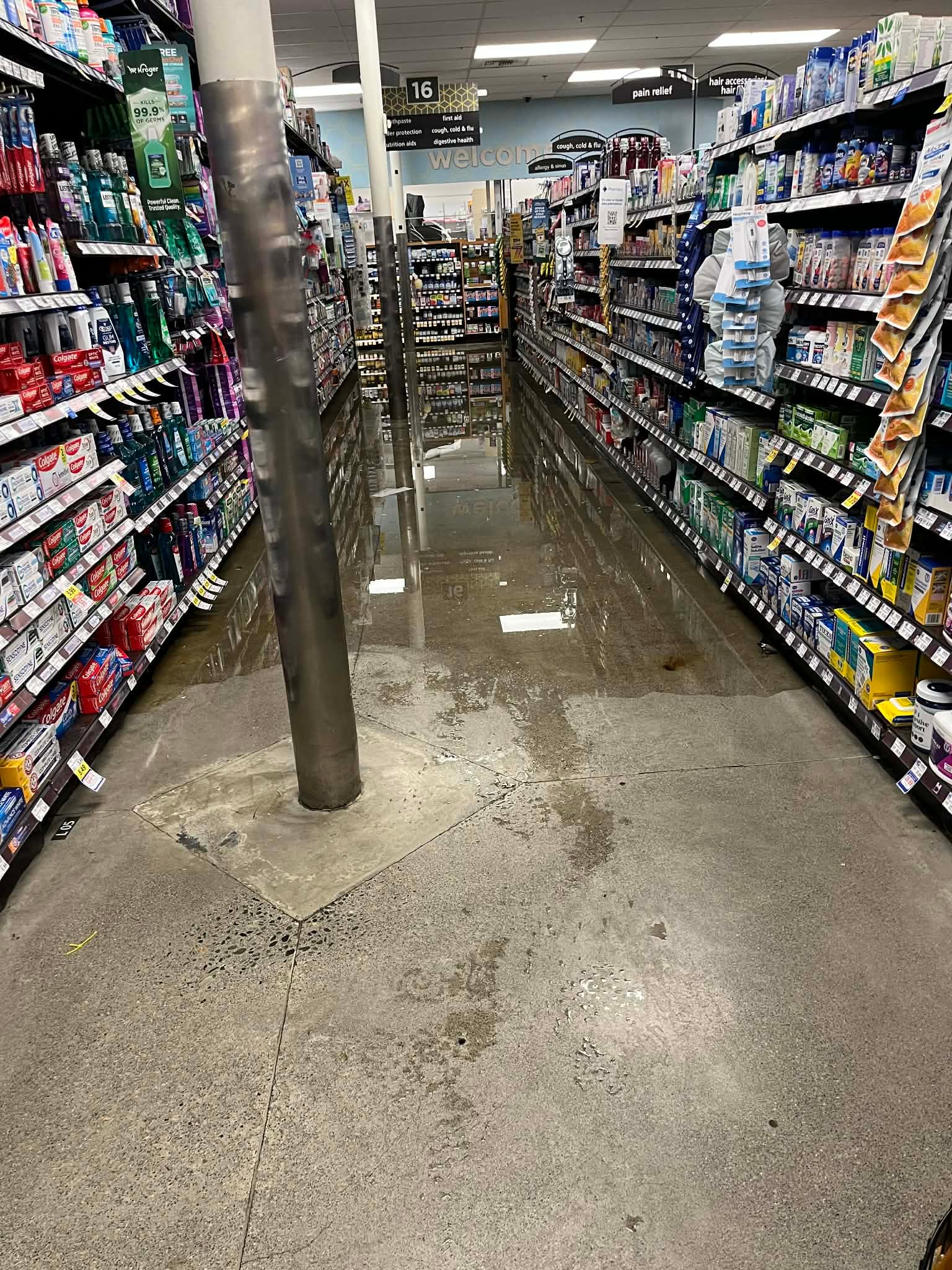


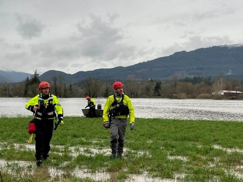
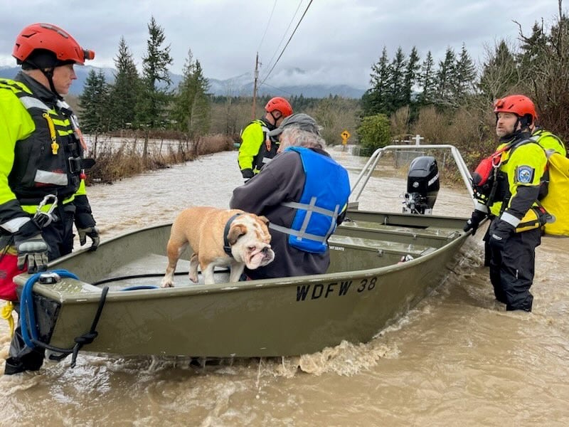
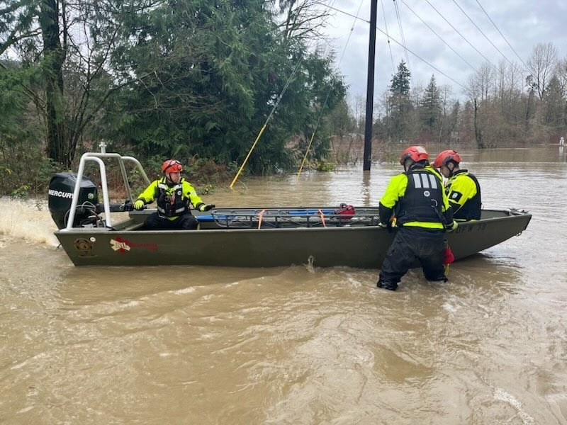


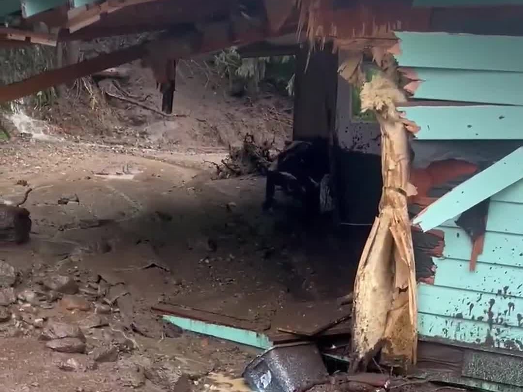


WASHINGTON — Washington is experiencing record-breaking flooding.
Governor Bob Ferguson declared an emergency as a result.
He’s predicting that 100,000 people could be facing evacuation orders as a result.
Evacuation orders
KIRO 7 is closely monitoring evacuation orders in our community. Click on the county below that you want to view:
The forecast: What to expect
The rain will be tapering into tonight and while we could have a few light showers or sprinkles early tomorrow and through the day Friday, there won’t be significant added precipitation after this evening for the area.
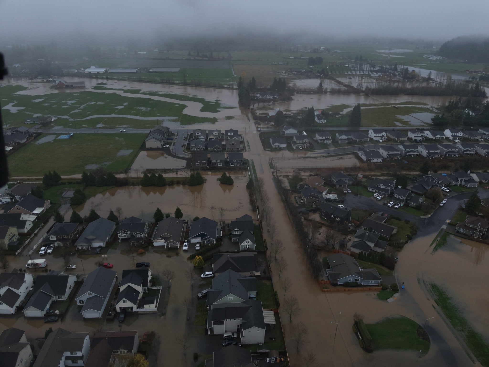
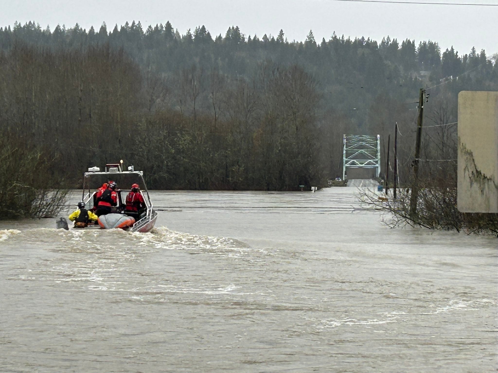
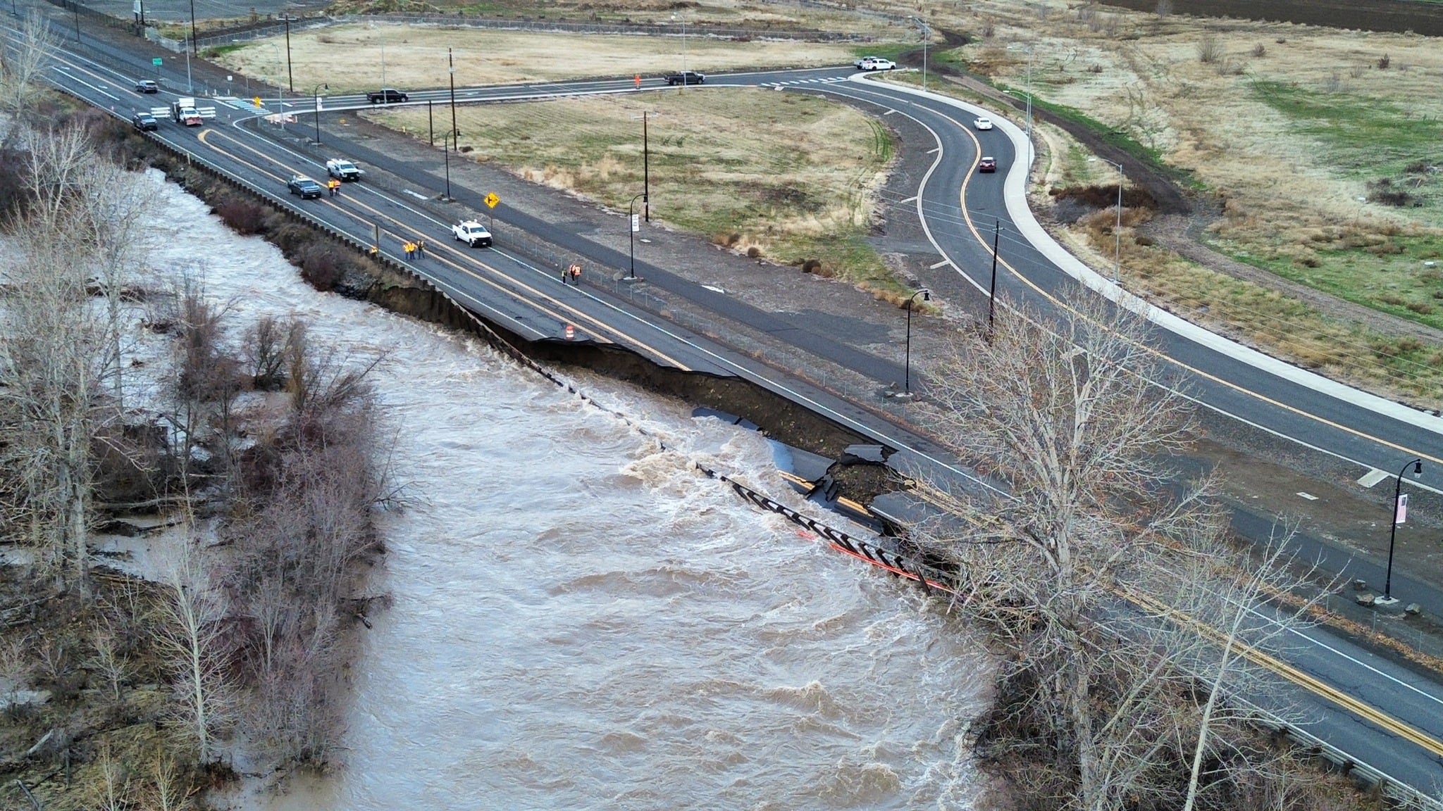
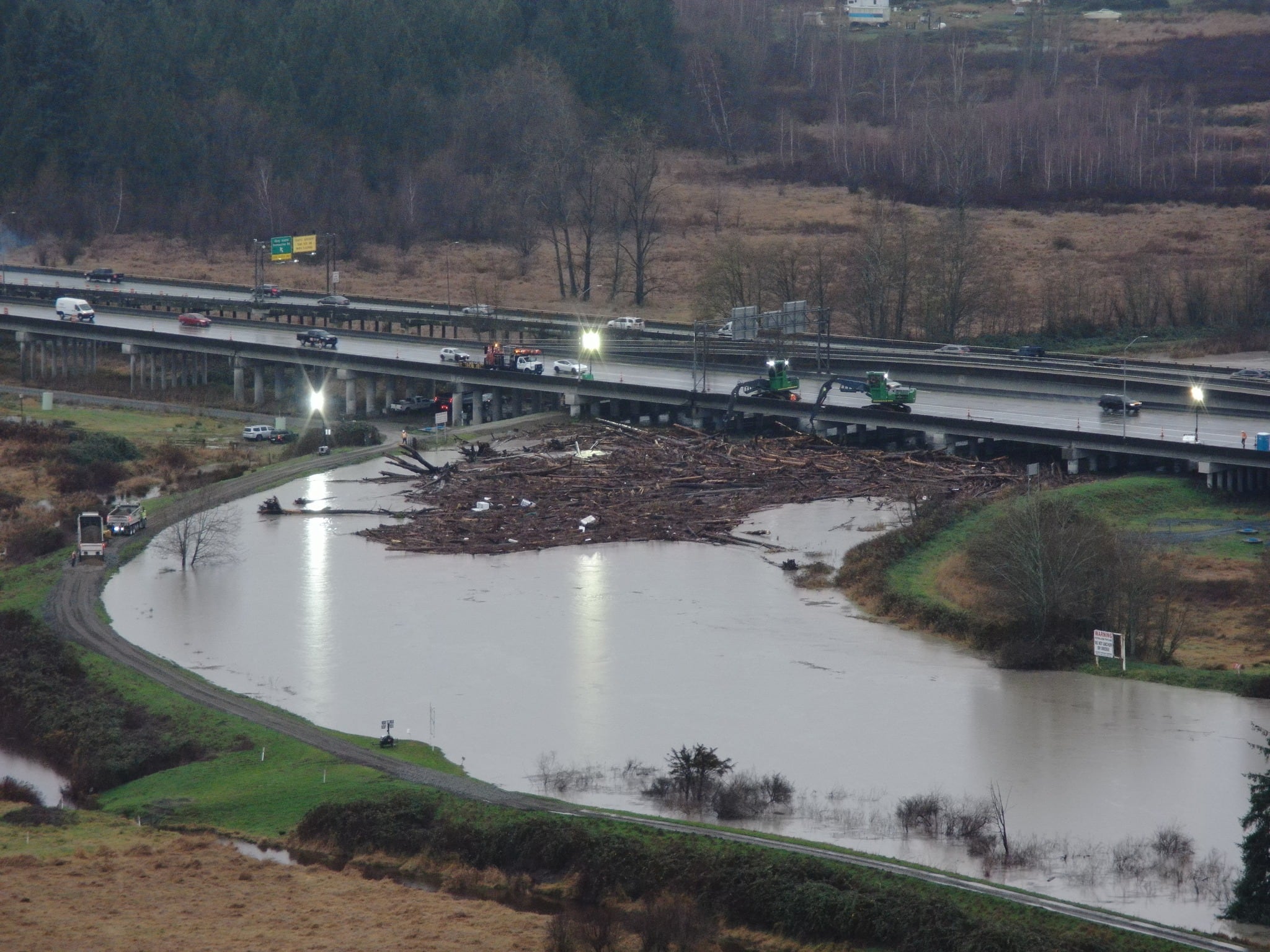
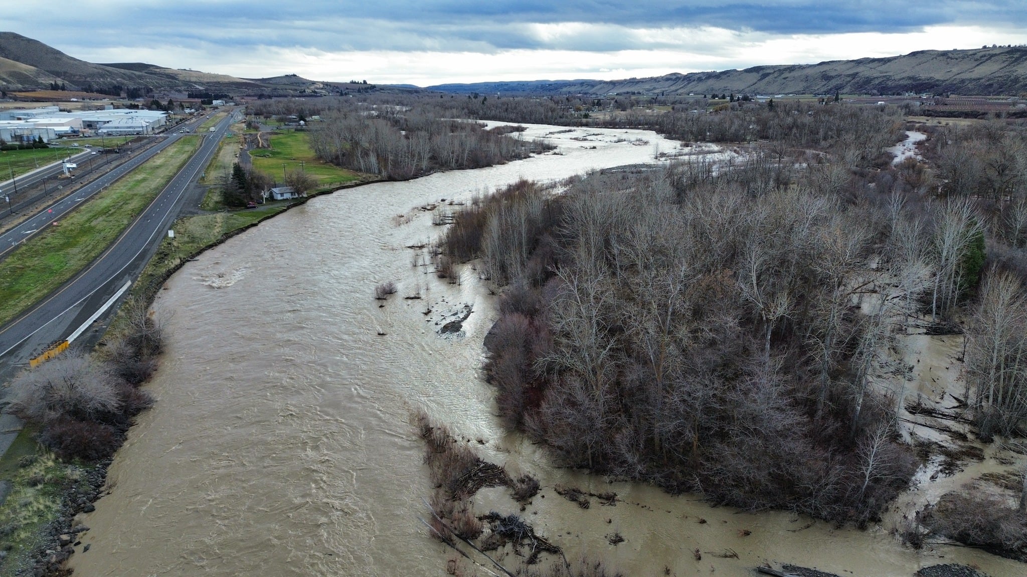
Still, we have many rivers in flood with the following rivers still in major to record flood stage:
- Nooksack River at Ferndale: Cresting late this evening perhaps just shy of record
- Skagit River at Mount Vernon: Cresting about a half foot over the 1990 record level around 4 am Friday, but still in flood stage until late Friday evening
- Snohomish River near Monroe: Crested about 8pm this evening then falling into Friday
- Snohomish River at Snohomish: Holding around record flood level through 7 am Friday, then falling out of flood stage Friday night
- Snoqualmie River near Carnation: Crested earlier this afternoon, falling out of flood stage Friday morning
- Cedar River at Renton: Cresting in record flood stage around 4 am Friday, but staying in flood stage into early next week from releases from Chester Morse Lake
- Wenatchee River at Peshastin: Cresting late this evening and falling out of flood stage Friday morning
Other rivers are in flood stage but all rivers will be falling — some faster than others — into the weekend.
Expect a drier day on Friday with some afternoon sunshine possible. Saturday will be pretty nice with a bit more afternoon sunshine after some morning clouds and patchy fog. Highs will be mild in the 50s.
Rain showers will move back in on Sunday with hit-and-miss downpours, but then we’ll be looking ahead to another atmospheric river affecting the region Monday and Tuesday.
This next atmospheric river looks to be weak to moderate and nothing comparable to the event we just went through, but with 1-2″ of rain in the lowlands and 4-7″ in the mountain through the first half of next week, we will likely have problems.
Rivers will still be running high in spots and the ground saturated, so we’ll see rivers rising into Tuesday and Wednesday.
Right now, the greatest concern could be on the Skagit and Snoqualmie rivers but peaking around moderate flood stage — nothing close to the record flooding we’re seeing now.
Late next week, we could see a turn toward cooler weather which could start putting mountain precipitation down as snow instead of flooding rain.
©2025 Cox Media Group


