


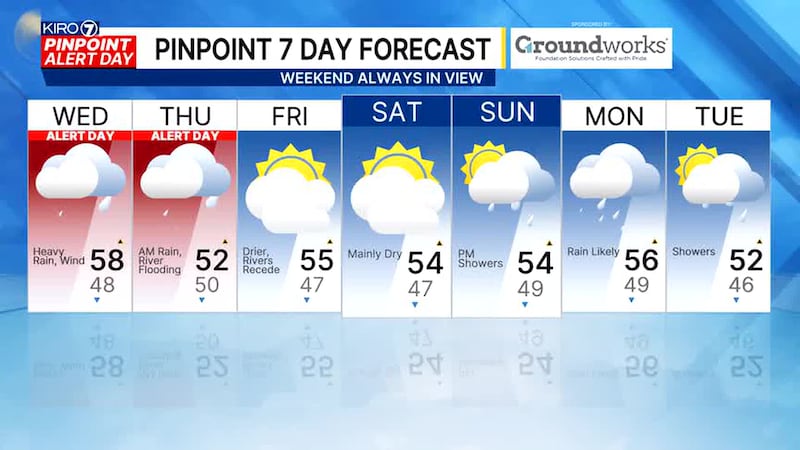
- Getting breezy to windy tonight through Wednesday (Wind Advisory issued for 40-45mph gusts)
- Rainfall tonight-Thursday AM: 2-4 inches most lowlands, 5-10 inches in mountains
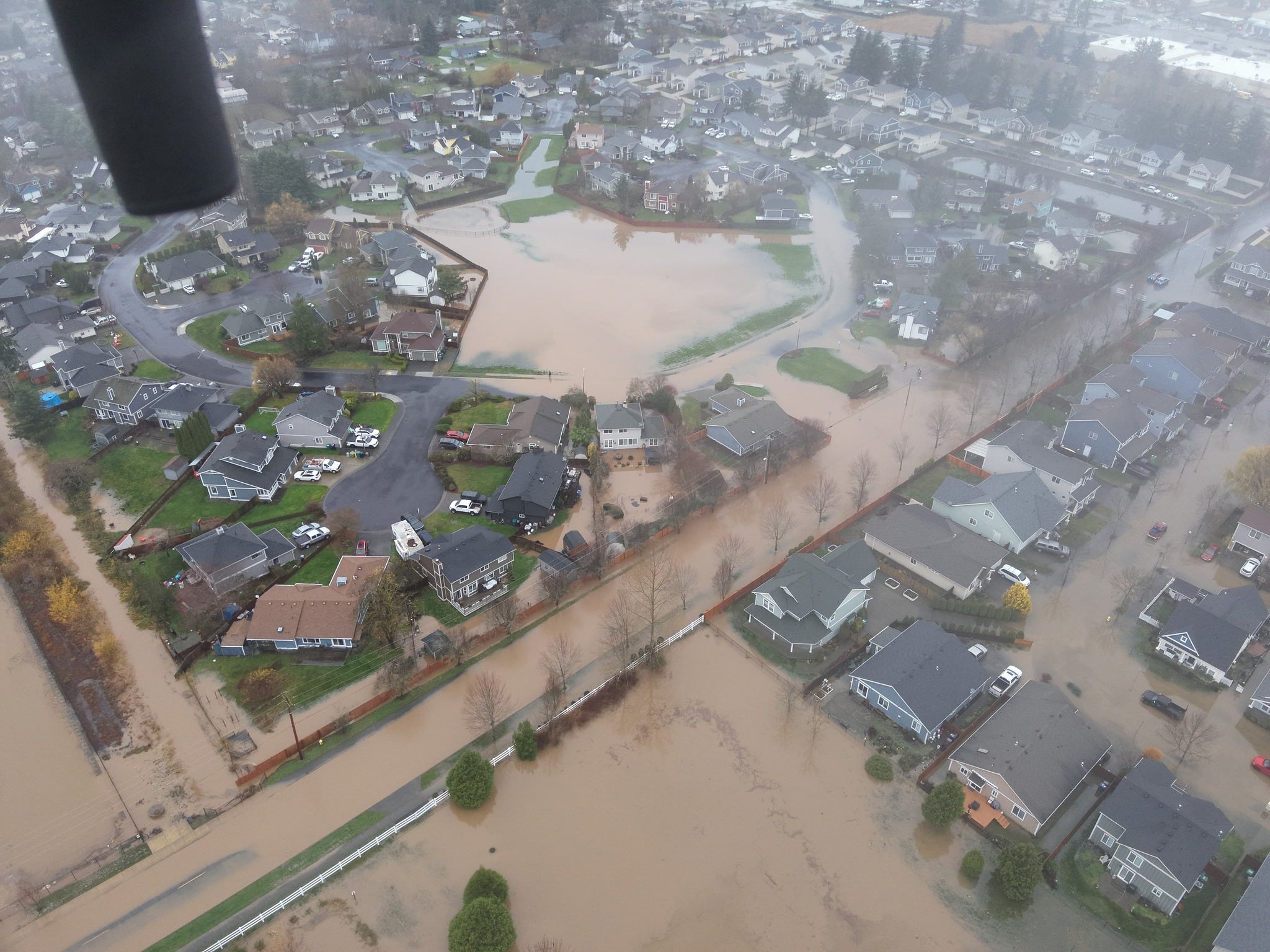
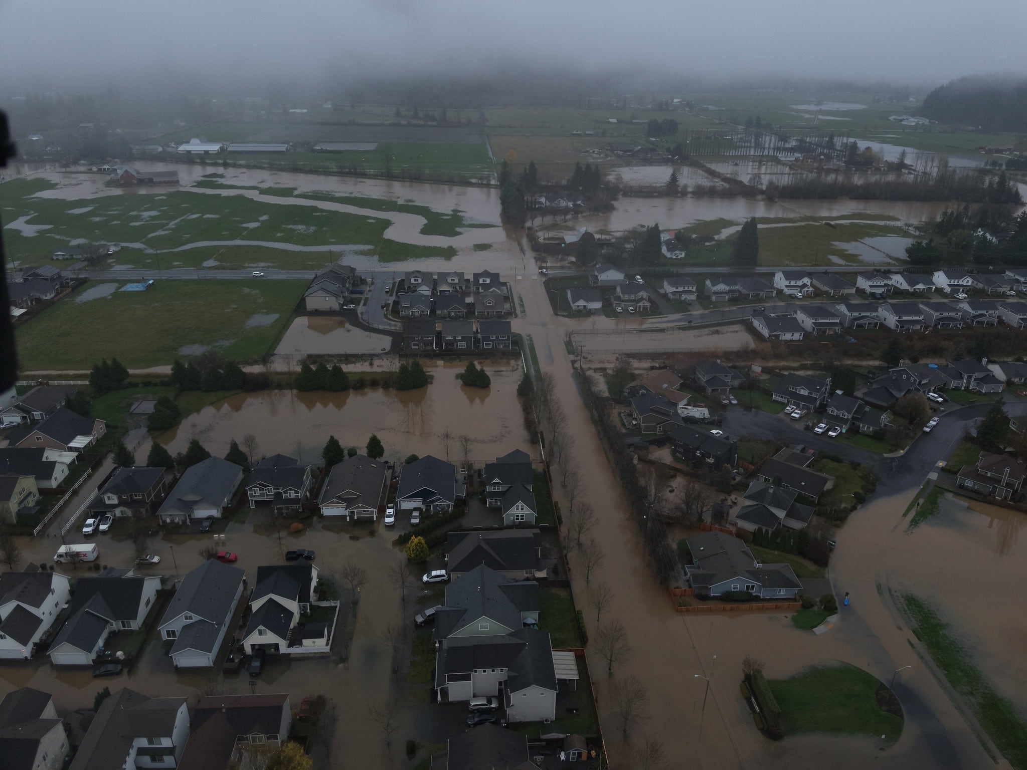
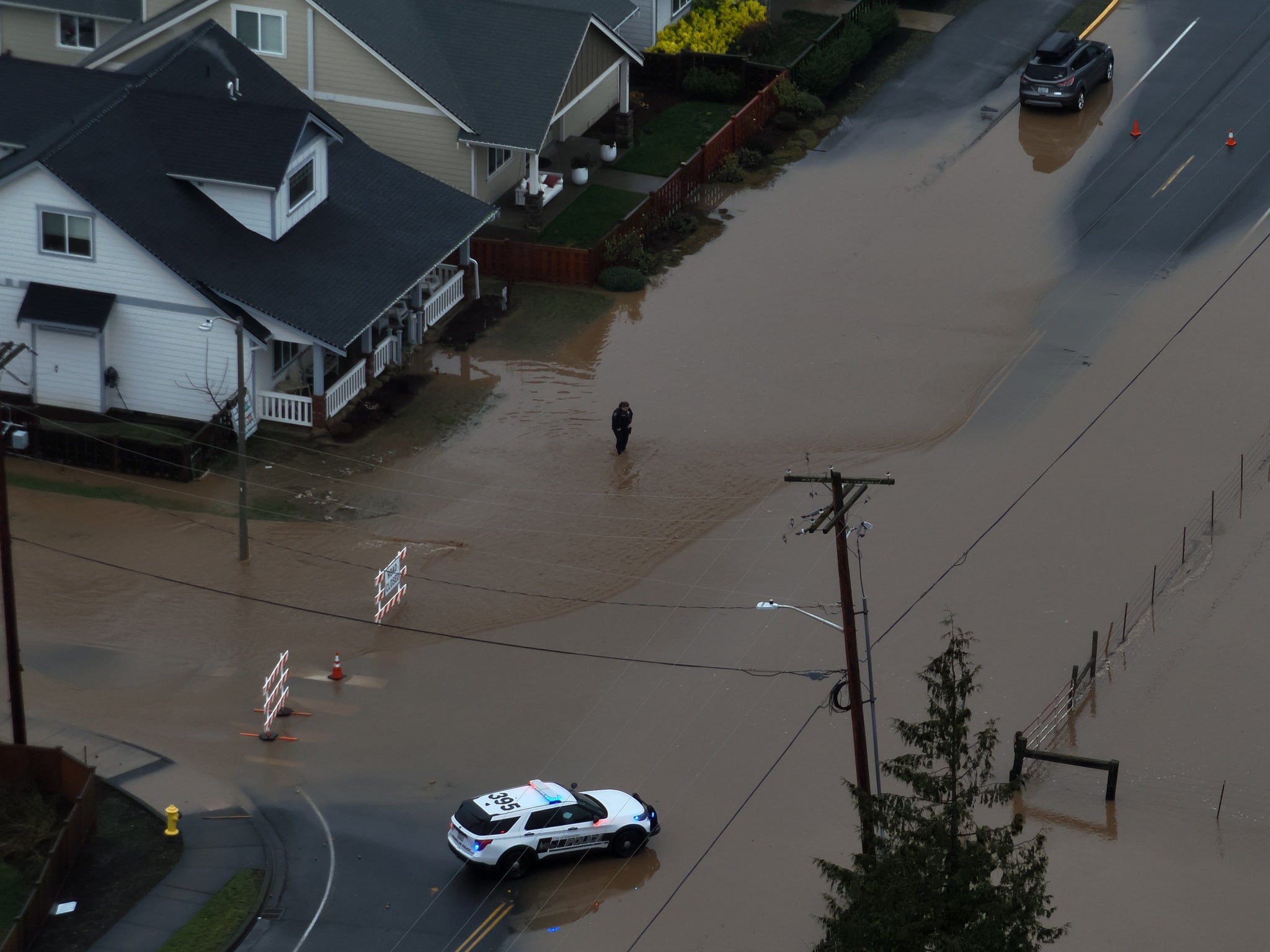
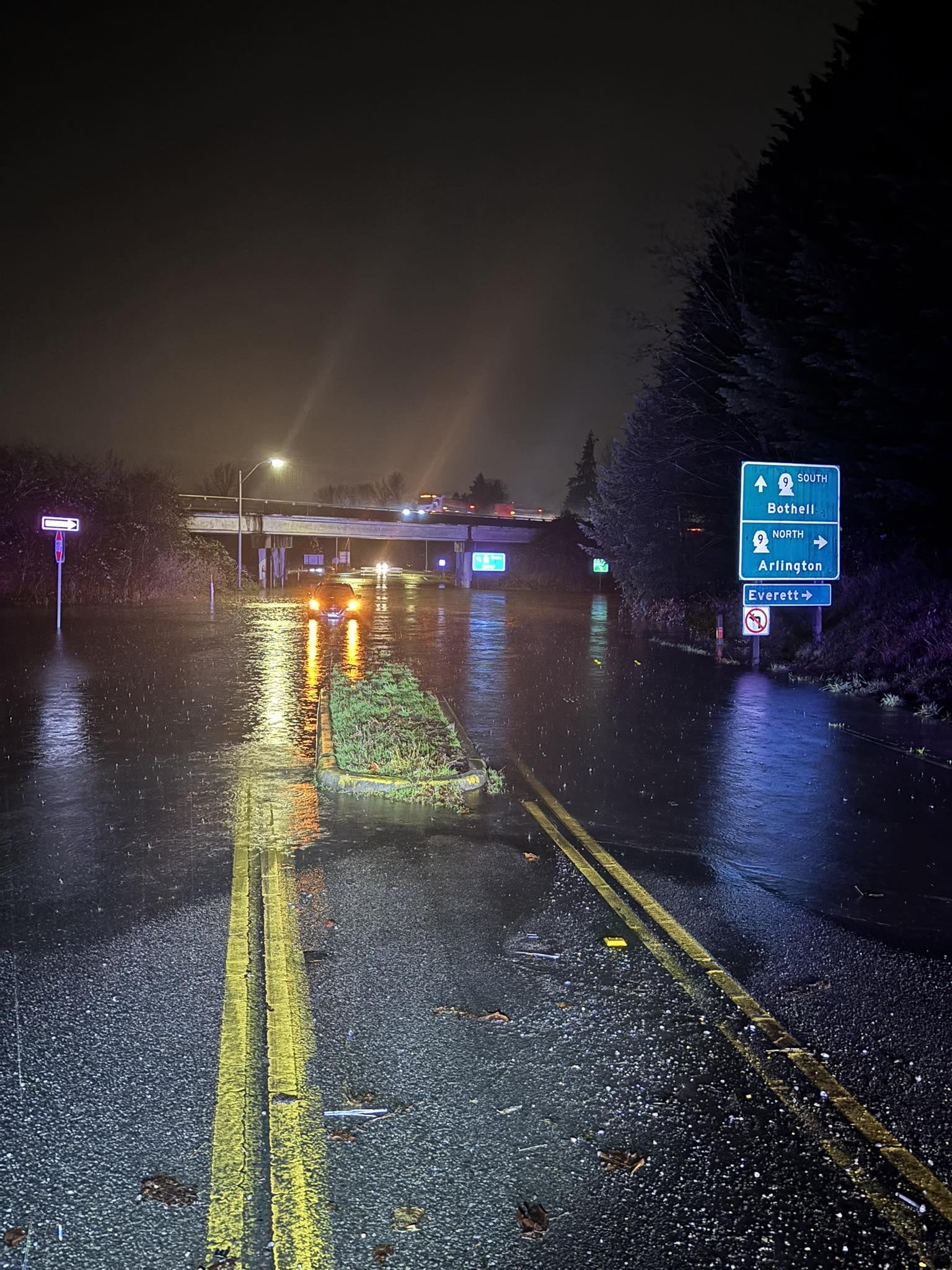
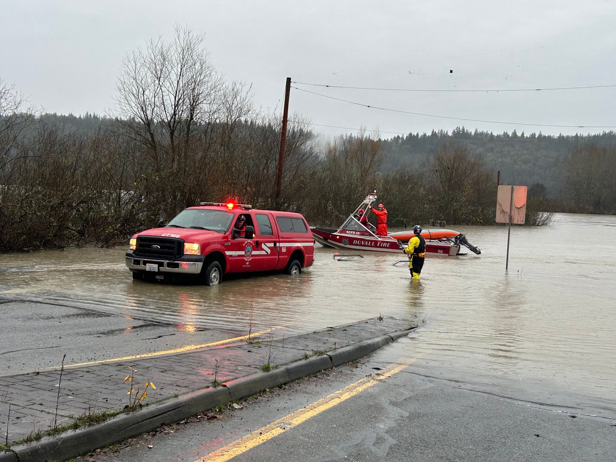
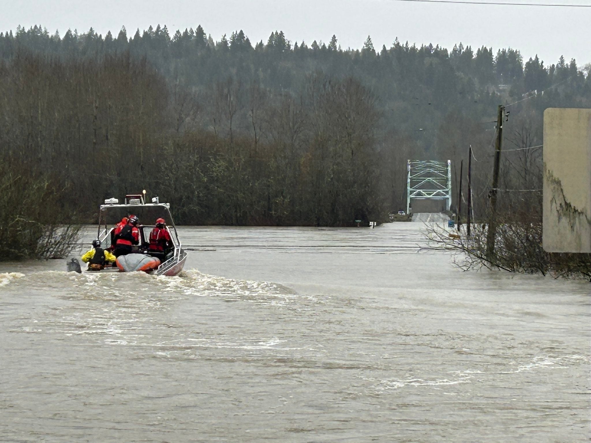
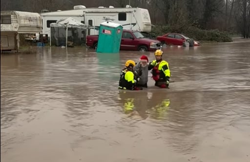
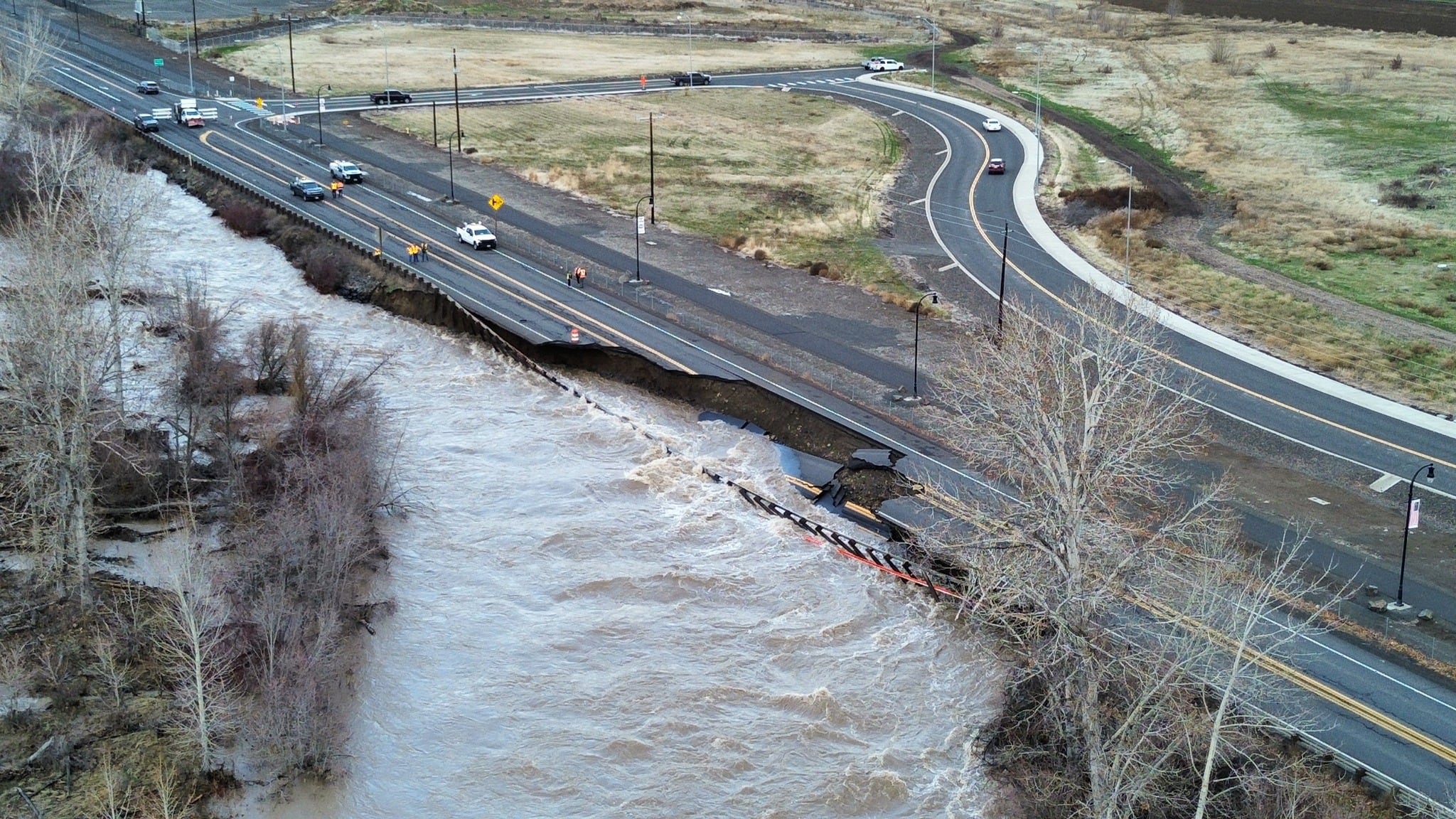
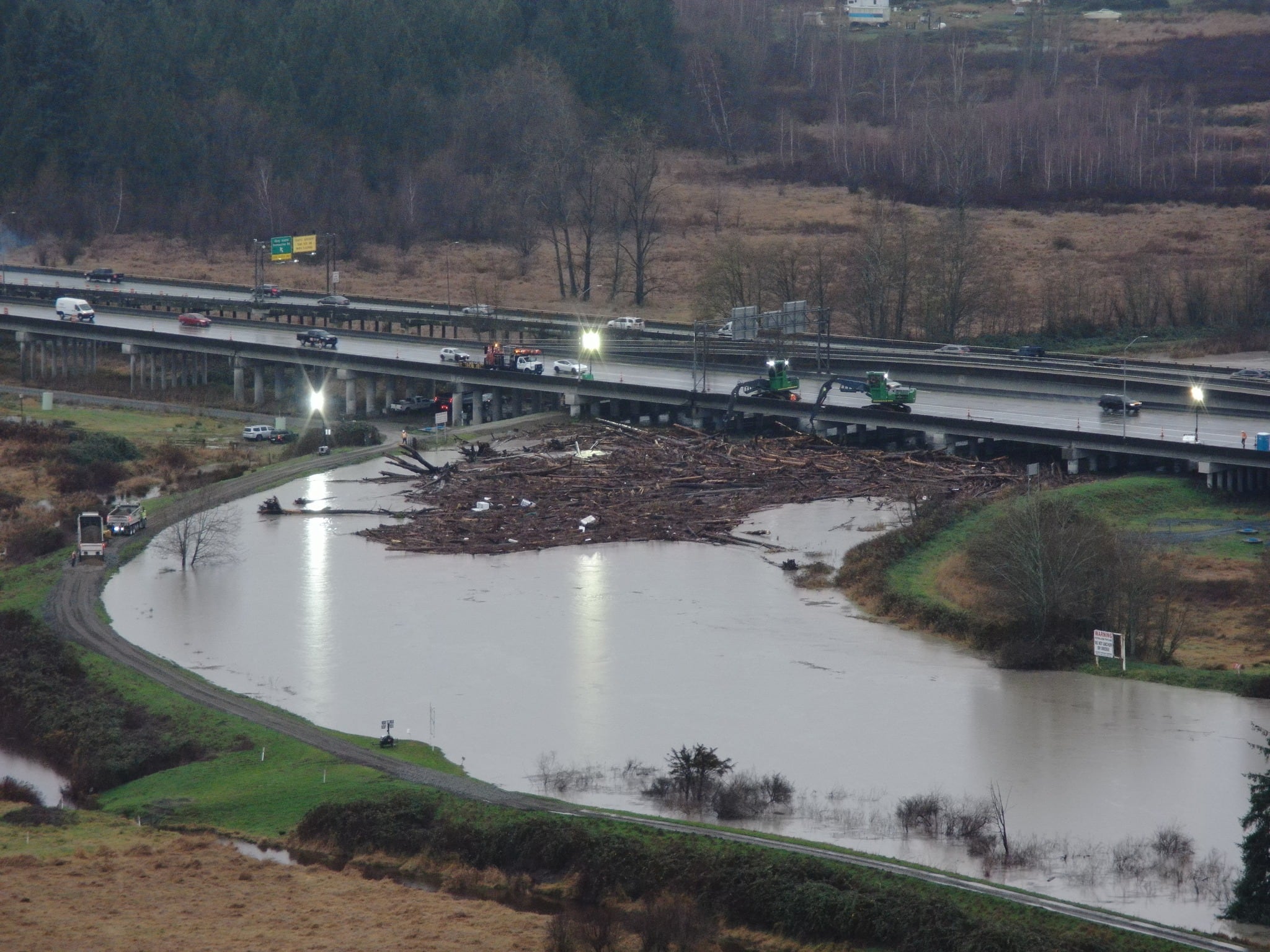
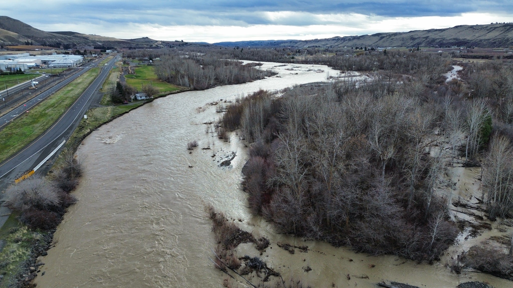
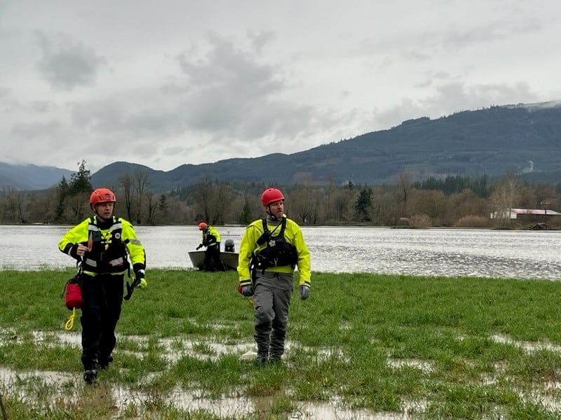
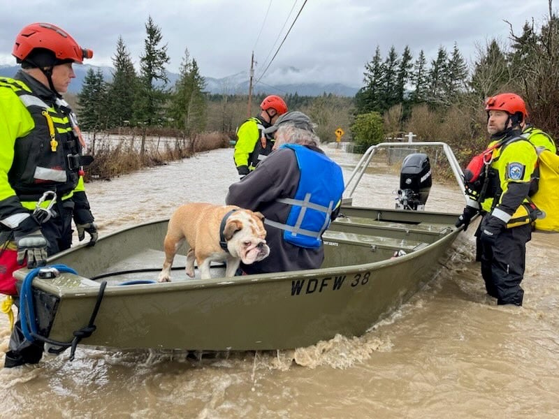
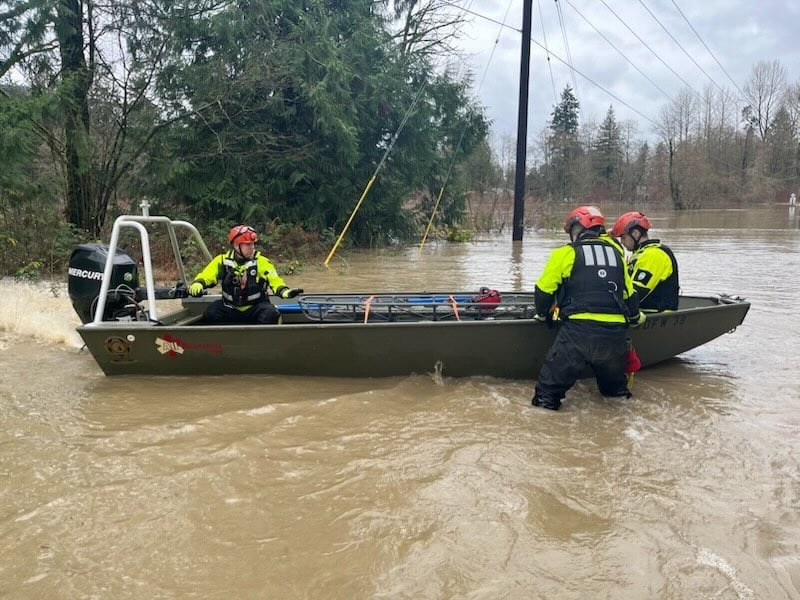
- Major flooding expected on many rivers Wednesday through Thursday
- Drier with rivers falling into this weekend but more rainy, windy weather possible next week
WASHINGTON — Rain and wind are back in Western Washington, and this time for a longer period — through Wednesday night. A Wind Advisory is out until Wednesday night for wind gusts over 40mph in some areas and that will threaten more fallen trees and power outages.
Then there is the rainfall and flooding threat. Some forecast models have this next round of rainfall topping out in the 2-4-inch range in the lowands from Tuesday night through early Thursday morning with 5-10” in the mountains.
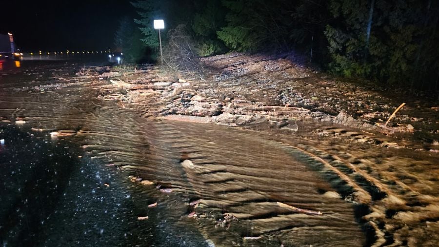
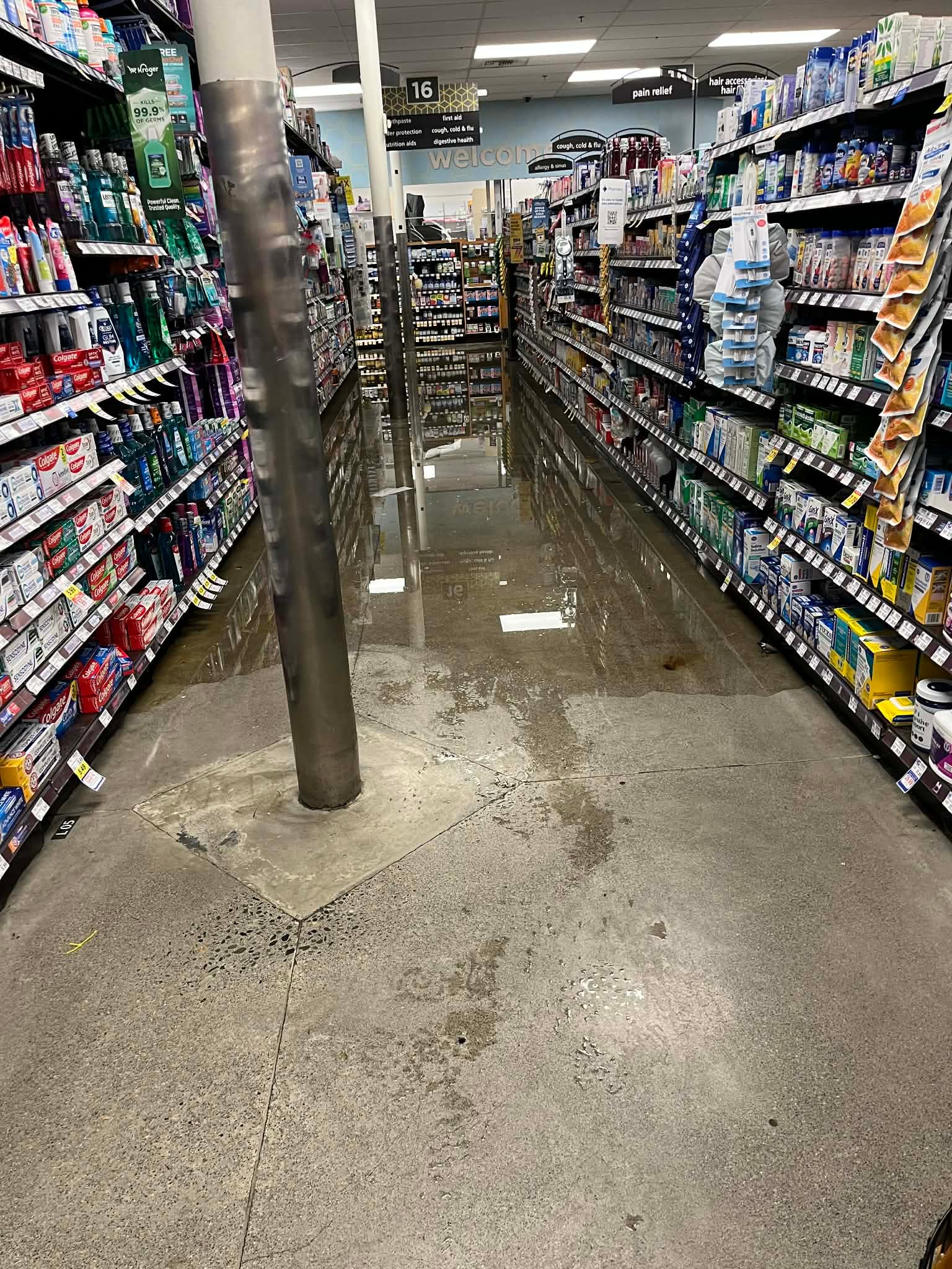
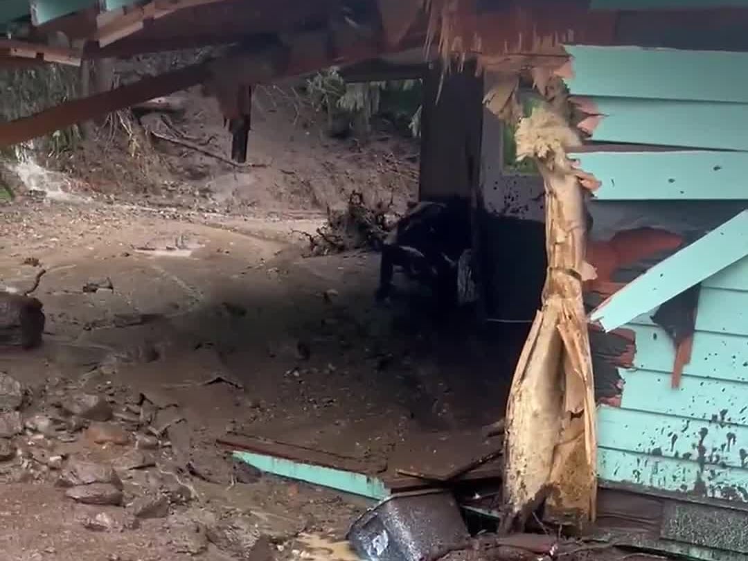
This is what we saw as an average through Sunday night and Monday, though drawn out over a longer period, and focused across the Olympics and central and north Cascades. Still, there will be issues with urban flooding when the heaviest downpours hit, as storm drains are not equipped to handle the rainfall rates we’re likely to occasionally see.
Rivers will spike higher once again. Major flooding is expected on many of our river systems with crests higher than what we observed on Monday and into Tuesday.
Major flooding is expected on the following rivers with the following times of peak river levels (subject to change with new forecasts):
- Snohomish River at Monroe: Major flood stage by Wednesday morning, peaking above record flood stage on Thursday.
- Snohomish River at Snohomish: Rises rapidly Wednesday to major flood stage Thursday morning, peaking Thursday near record flood level.
- Skagit River near Concrete: Major flood stage by late morning Wednesday with peak Wednesday night and Thursday morning well above record flood level.
- Skagit River at Mount Vernon: Major flood stage by late Wednesday night, and above record flood level by late Thursday morning through much of Friday.
- Stillaguamish River at Arlington: Rising into flood stage Wednesday morning, cresting near record Major flood stage Wednesday night.
- Puyallup River near Orting: In Major flood stage from Wednesday morning to Thursday morning
- Snoqualmie River near Snoqualmie Falls: Major flood stage from Wednesday morning to Thursday morning
- Snoqualmie River at Carnation: Major flood stage from Wednesday afternoon to Thursday night
- Tolt River at Carnation: Major flood stage from Wednesday morning to Thursday morning
- Skykomish River at Gold Bar: Major flood stage from Wednesday morning to Thursday morning
- Carbon River near Fairfax: Major flood stage from Wednesday afternoon to Thursday morning
- Nisqually River near National: Major flood stage from Wednesday morning to Thursday afternoon
- Cowlitz River at Randle: in Major flood stage now through Friday afternoon
- Cowlitz River at Packwood: Major flood stage from Wednesday morning to Thursday morning
- Cedar River at Renton: Rising into flood stage Wednesday afternoon peaking at near record flood stage Thursday morning
- Elwha River at McDonald Bridge: Rising into flood stage Wednesday morning, cresting just above record Major flood stage Wednesday afternoon
- Wenatchee River at Peshastin: Rising into flood stage Wednesday night, peaking in Major flood stage Thursday morning
Some minor coastal flooding is also possible, especially near the time of high tide and near where rivers empty into the Salish Sea.
Drier weather will be in the forecast from Thursday afternoon through Friday and the weekend with most rivers dropping quickly into the weekend though hazards will still remain, with debris and dangerous river currents.
While the weekend’s weather looks calmer, there are prospects for more warm, wet, windy weather systems next week – possibly with some atmospheric river components. It appears that we won’t have an end to the flooding threat in Western Washington through next week.
KIRO 7 will have live team coverage of this ongoing flooding threat through the event. Stay with us on-air and online.
©2025 Cox Media Group


