This is your friendly reminder to get air conditioning if you don’t already have it.
We’ll be warm again Monday with a high of 86.
However, heading into Tuesday, we’re entering a three-to-four day (depending on where you are in Washington) heat wave. I have good news and some not-so-great news.
The not-so-great news is Excessive Heat Warnings across central and eastern Washington go into effect Tuesday morning and remain in effect through Friday. Temperatures could reach 105-110 degrees!
Temperatures this high are incredibly dangerous, so I’m reminding people that planning ahead, avoiding the outdoors/long-term sun exposure, staying hydrated and checking on family (specifically the elderly) is important.
Now for some slightly better news. Morgan mentioned this past week that the strength of next week’s offshore flow (land to sea air) could make temperatures significantly warmer near the coast. It appears that we’ll be lacking that offshore flow needed to heat up the coast.
On Tuesday, the high is forecasted to be 94, beating the record of 92 set in 2018. We’ll near record heat in western Washington through Thursday. By Saturday we should feel a drop in temperatures but still remain seasonably warm.
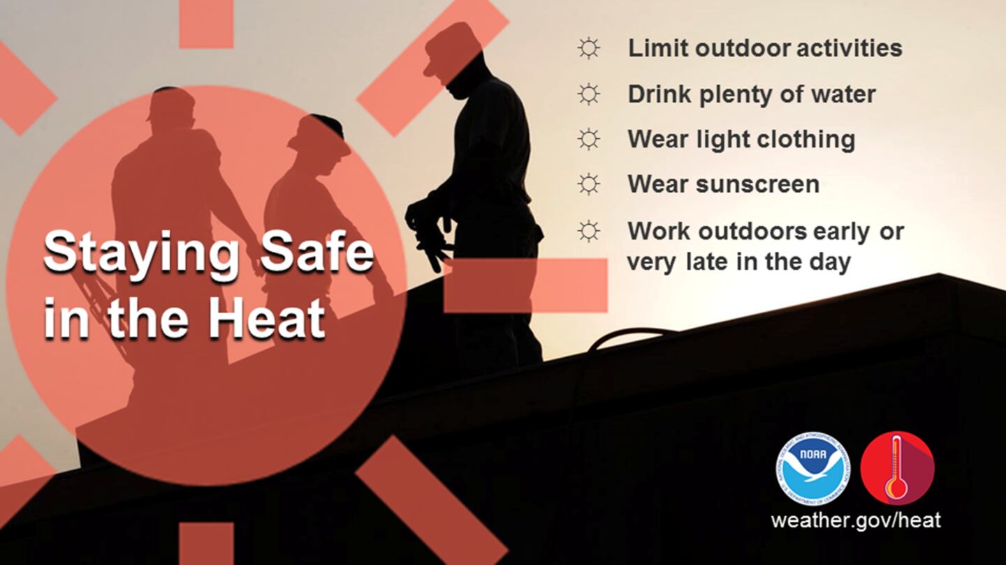
The National Weather Service has these graphics that do a nice job visually of reminding us of some safety tips for this warmup:

©2022 Cox Media Group


