The unrelenting rain that has been coming down around the Pacific Northwest has caused flooding in many areas, with rivers rising quickly and all of Western Washington under a flood watch.
The National Weather Service issued more than a dozen flood warnings for rivers in King, Pierce, Snohomish, Lewis and Thurston counties early Wednesday. Find severe weather alerts here.
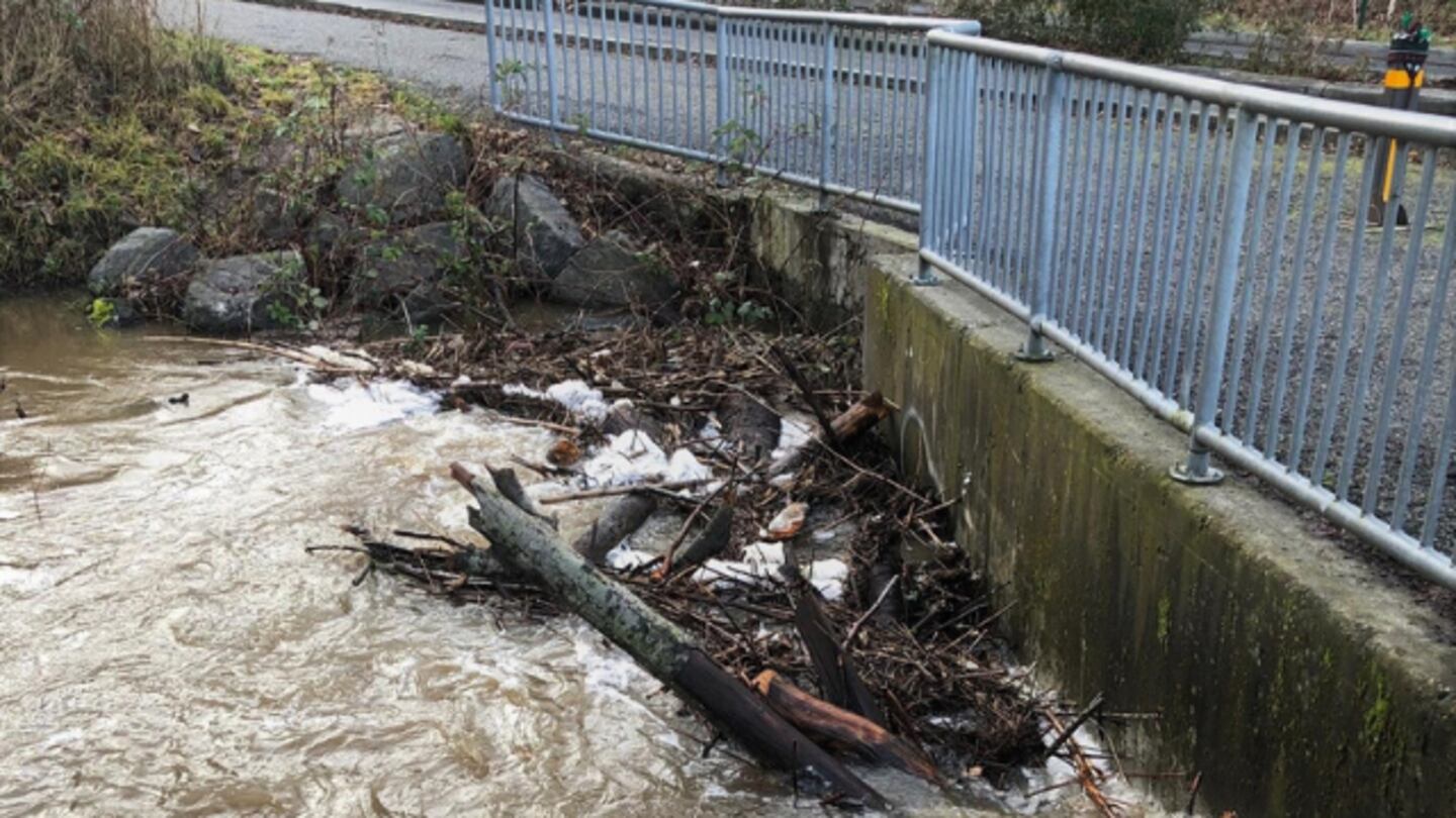
>>PHOTOS: Flooding swamps neighborhoods, closes roads
>> Download the free KIRO 7 PinPoint Weather App
>> StormTracker Doppler Radar Livestream
On Wednesday, Washington Gov. Jay Inslee issued an emergency proclamation for 19 counties because of significant winter weather that is forecast to continue through the weekend.
Inslee said storms have caused injuries, power outages, evacuations, rail line closures and extensive damage.
The proclamation affects Clallam, Clark, Cowlitz, Grays Harbor, Island, Jefferson, King, Kitsap, Lewis, Mason, Pacific, Pierce, San Juan, Skagit, Skamania, Snohomish, Thurston, Wahkiakum, and Whatcom counties.
King County Executive Dow Constantine also signed a Local Proclamation of Emergency Thursday afternoon to help county staff continue to respond quickly to the dangerous weather situation.
This story highlights some of the flooded areas.
KING COUNTY
In Issaquah, people were scrambling as water rushed into homes and over roads after the Issaquah Creek spilled over its banks overnight, causing severe flooding.
Video taken overnight by KIRO 7 showed flooded yards, and a house south of the city had water up almost up to its door.
At the intersection of Front Street and Newport Way, where there are apartments on either side, there’s about 8 inches of water. Multiple roads are closed, including Issaquah Hobart Road between Tiger Mountain and May Valley Road. Detailed information about flooding in the city can be found is at this link.
This is in Issaquah along Issaquah Creek. Eleven residents were evacuated safely- including two children. https://t.co/2p4tdXbK8G
— Alison Grande (@AlisonKIRO7) February 7, 2020
All 11 residence who were in the apartment complex have been safely evacuated. Including several children and animals. pic.twitter.com/sGEhNPJfnf
— Eastside Fire & Rescue (@EastsideFire) February 6, 2020
On Thursday, Issaquah-Fall City Road is closed from Endeavor Elementary to Southeast 39th due to water over the road. Crews from the Washington State Department of Transportation were also working to clear rocks and water from the roadway.
Seeing red? We are too. ⛔️= closed roads due to flooding (mostly). Get more info👉 https://t.co/HMbiBVnkEs You also can report road hazards, downed trees🌲, flooding to: maint.roads@kingcounty.gov. Stay safe out there. #wawx pic.twitter.com/aOGim5jRni
— KC Road Services (@kcroads) February 6, 2020
The King County Flood Warning Center issued a Phase 4 flood alert for the Cedar River, with significant widespread flooding possible across the floodplain and numerous road closures from overtopping floodwaters. A Phase 3 flood alert was also issued for the Tolt River, with moderate flooding possible. You also can find a list of King County road closures here.
Water levels continue to rise on the Green River. Follow this link to see flooding information.
SOUTH SOUND
Neighbors near Nisqually Delta were urged to evacuate by 4 p.m. Thursday as Tacoma Power again increases the amount of water released from the LaGrande Dam.
Thurston County and the American Red Cross are setting up a shelter for people who evacuate. It’s in Lacey at 6015 30th Ave S.E.
Here’s a graph of what’s expected coming into Friday:
UPDATE: The county and American Red Cross are setting up a shelter for people who evacuate. It's in Lacey: 6015 30th Ave SE. https://t.co/xZfx7FVmCe
— Sara Gentzler (@SaraGentzler) February 7, 2020
Moderate flooding in Thurston County happens when the flow rate exceeds about 15,000 cfs, according to Thurston County Emergency Management. The dam was expected to increase water flow until Friday. Thurston County road closures can be tracked here.
The North Thurston School District has informed parents and guardians that they will not be dropping off students in the affected areas. Parents with students in the North Thurston School District who live in the affected areas must pick up their students from school.
Thurston County Sheriff’s Deputies were going door-to-door Thursday to inform people of the evacuation advisory. Riverside residents of the Nisqually Pines were urged to keep a watchful eye on the river and be prepared to evacuate on short notice, but they were not under an evacuation advisory Thursday afternoon. Residents can monitor river levels here
NORTH SOUND
Numerous roads are closed in Snohomish County. There is water over roads in Marysville, Stanwood, Monroe, and Snohomish. Check Snohomish County road closures here.
ROAD CLOSED: 23rd Ave NE is closed between 140th and 156th St NE due to water over roadway. Use alternate routes. #wawx pic.twitter.com/JLsPjeDrGg
— Snohomish Sheriff (@SnoCoSheriff) February 6, 2020
In Sultan, sandbags from this weekend’s flooding were still along the streets Thursday.
Outside Monroe, entire fields were underwater, and it was hard to tell Lake Crescent from the Snohomish River.
In Bellingham, city officials were monitoring Lake Whatcom’s water level and water flow gauges in Whatcom Creek, preparing for road closures.
The National Weather Service issued a flood watch for the Bellingham area, with up to 5 inches of rain expected.
Crews with Bellingham Public Works were monitoring creeks and streams to prevent logjams and obstructions at areas that are prone to flooding during heavy rainfall.
Those in need of sandbags can call Bellingham Public Works at (360) 778-7700 or email AskPW@cob.org.
Information from the Associated Press was used in this story.
More news from KIRO 7
- Deputies: Bodies found believed to be missing teens last seen in Enumclaw
- Waitress gets $5,000 tip from billionaire in challenge gone viral
- 20+ frustrated businesses, neighbors sign letter calling for downtown Seattle safety reform
- Coronavirus fears impacting Western Washington businesses
- Do you have an investigative story tip? Send us an email at investigate@kiro7.com
© 2020 Cox Media Group


