We’re heading into a cooler stretch of weather, with the biggest change coming Thursday and Friday.
A weak system is moving through this morning, bringing more clouds and a few sprinkles or very light showers. There won’t be much rain, and the chance of showers fades later this morning. We’ll dry out this afternoon, although skies will stay mostly cloudy with highs in the mid to upper-60s.
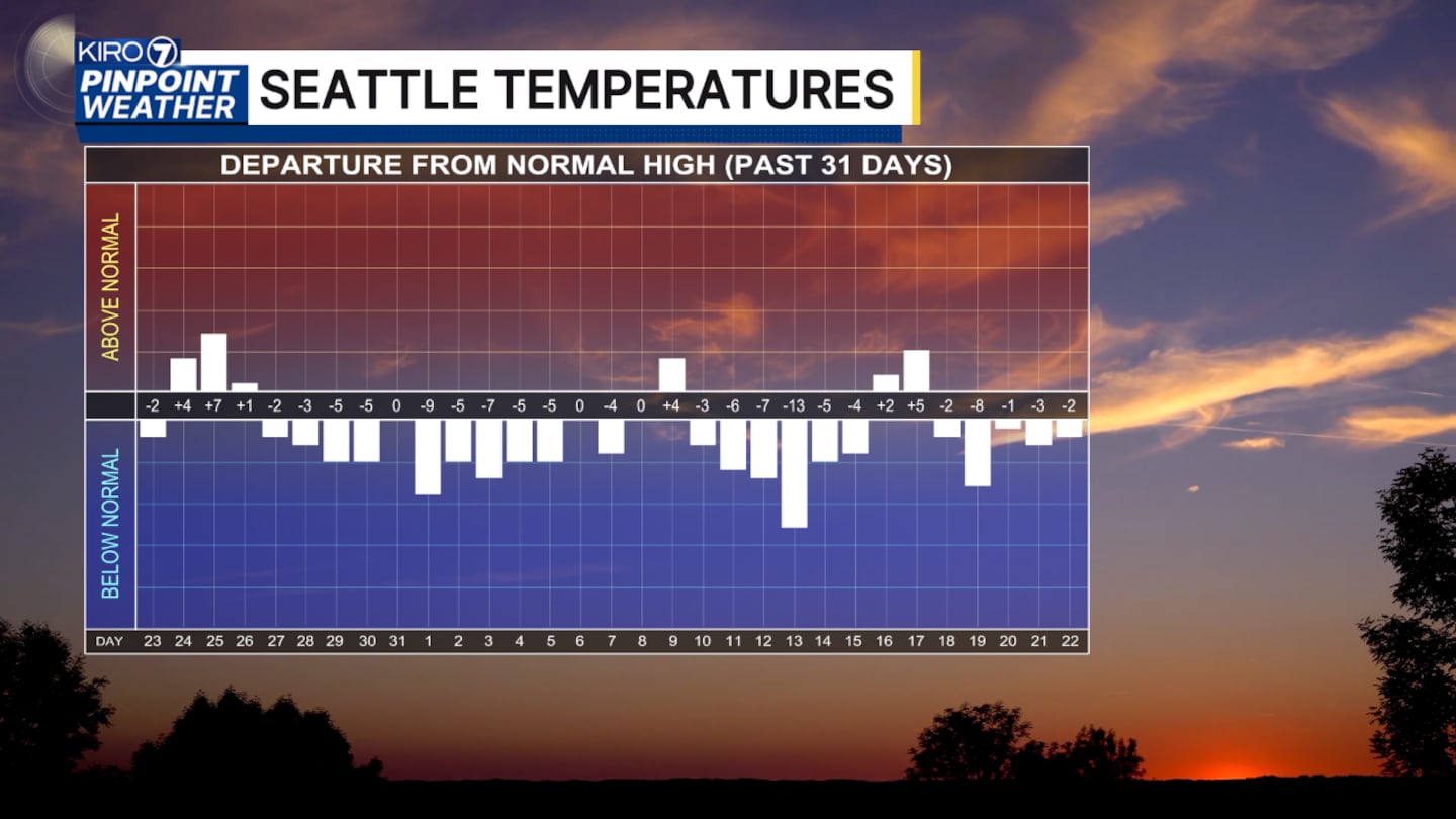
Thursday starts dry, but clouds will thicken as a stronger system moves in during the afternoon. Showers will become more likely through the afternoon and evening, with snow levels dropping to around 6,000 to 7,000 feet. That could mean a little snow at the highest elevations.
Friday will be the coolest day of the stretch, with rain to start and showers continuing into the afternoon and evening. Highs will only reach the upper-50s to lower-60s Thursday and Friday.
The weekend brings some improvement. Saturday starts with low clouds and perhaps a few sprinkles, followed by afternoon sunshine and highs in the low to mid-60s. Sunday and Monday look similar, with morning low clouds giving way to some afternoon sun. Another wave arrives Tuesday.
©2026 Cox Media Group


