
We’ve made Thursday a Pinpoint Alert Day because of the potential for isolated thunderstorms.
A few storms could produce brief downpours, gusty winds, and lightning, especially along the coast Thursday morning, with a few storms possible inland later in the day.
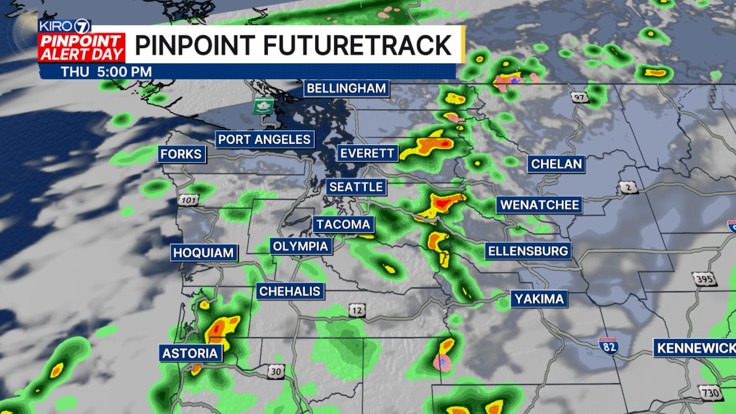
Showers will be around for the morning commute, then taper a bit afterward. Spotty showers will continue through the afternoon, but it’ll be hit and miss. We’ll be cool again Thursday, with highs only in the upper 60s.
Additional rainfall will generally range from a quarter to a half inch in the lowlands, but some locations will get much less. If you’re traveling in the mountains, be especially alert for the possibility of lightning.
Friday will be drier, with just a slim chance of a shower in the lowlands. We’ll see a mix of clouds and sun with highs around 70. An isolated shower or thunderstorm is possible in the mountains, and a few showers could drift westward into the lowlands later in the day.
Saturday will be similar, although there’s a slightly better chance of a few lowland showers early in the day. Highs will again be in the low 70s around Seattle.
Then Sunday and Labor Day look much better, with morning clouds giving way to more sunshine. Conditions should be dry, with highs in the low to mid 70s around Seattle.
©2026 Cox Media Group


